EU Deforestation Regulation
Geolocation, deforestation risk checks and due diligence documentation for cocoa, coffee and other regulated commodities.
Regulation (EU) 2023/1115 became law in June 2023, and enforcement was later postponed to give operators more time to prepare. Once it applies, operators and traders placing cattle, cocoa, coffee, palm oil, rubber, soy, wood or their derived products on the EU market will have to show those goods are free of deforestation after December 31, 2020, produced legally in the country of origin, and backed by geolocated due diligence data.
Large and medium operators are covered from December 30, 2026, under Regulation (EU) 2025/2650. Micro and small operators follow from June 30, 2027.
We handle plot mapping, deforestation risk checks and legality verification, so you don’t have to piece compliance together yourself. Whether you’re starting from scratch or already have partial data, we help you close the gaps before your deadline.
The result is a due diligence statement you can submit with confidence, and a system for keeping it current as your supply chain changes.
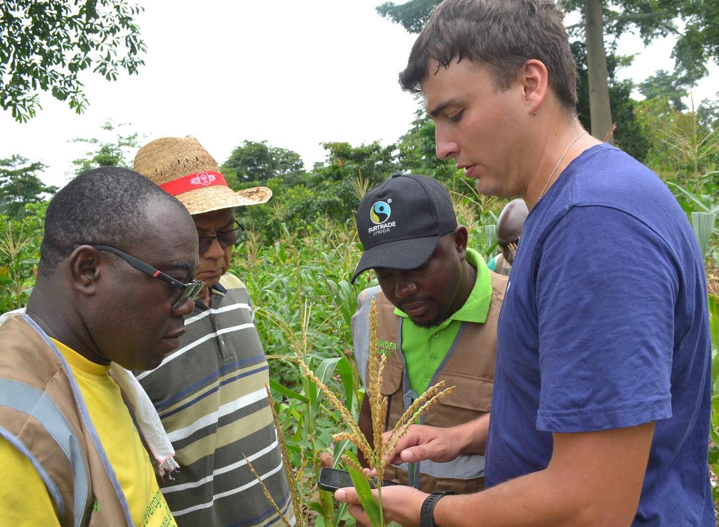
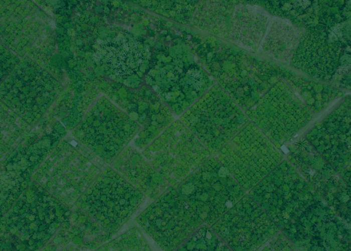
We record each plot’s geolocation and boundaries in GeoJSON format.
Each plot is checked against post-2020 deforestation data and local legality requirements.
Findings feed a due diligence statement, ready for submission to the EU Information System.
Every mapped plot gets a risk rating, so you know where the evidence is solid and where it still needs work.
Deforestation-free, legally sourced, ready for the due diligence statement.
Documentation incomplete or legality checks still pending.
Deforestation detected after 2020, or land tenure unresolved.
We can map your first plots or plug into monitoring you already have running. Let’s talk about your commodities and your deadline.
Talk to our teamWe provide a customised monitoring tool called DAF Tracker, developed for us by FarmTree, specifically designed to support the successful implementation and management of Dynamic Agroforestry (DAF) systems. This tool offers an integrated approach to managing complex agroforestry systems by combining robust data collection and intuitive visualization capabilities.
Comprehensive farmer and polygon profiling with interactive map visualization and customizable scoring metrics enables detailed tracking, strategic planning, and project-specific evaluations.
Document detailed profiles for each farmer and their polygons, capturing essential data such as boundaries, crop compositions, and management practices. This ensures comprehensive documentation and traceability at all stages of the project.
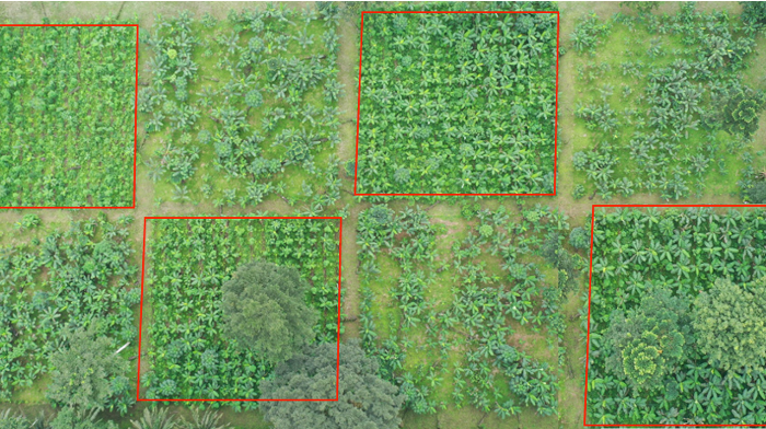
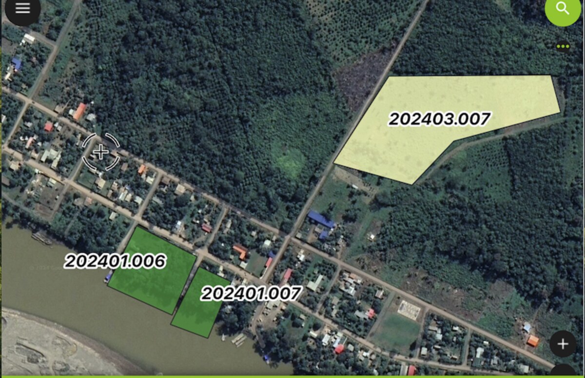
Polygons are displayed on an interactive map, color-coded using a traffic light system (green for optimal performance, yellow for moderate, and red for areas needing attention). This visual approach allows for instant identification of critical areas and supports strategic planning.
Evaluate essential parameters such as plant density, species diversity, pruning quality, soil cover, and organic matter accumulation. The scoring system is tailored to meet the specific needs and goals of each project.
The DAF tracker enhances DAF systems by providing real-time decision support, offline data collection in remote areas, and advanced data management for improved efficiency and scalability.
Provide stakeholders with actionable insights based on current data. The visual summaries and detailed analysis enable efficient decision-making, improving the productivity and sustainability of DAF systems.
Designed for field conditions, the tool supports offline data collection in remote locations. Data can be synchronized when a connection is available, ensuring uninterrupted operations in challenging environments.
Aggregate and analyze data across regions, cooperatives, or individual farmers. Exportable reports provide insights for both field-level management and strategic scaling efforts.
Our monitoring tool transforms the management of DAF projects by enabling:
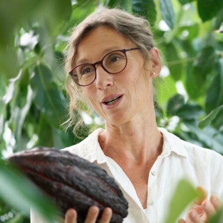
With ECOTOP’s guidance, we’ve implemented over 10 successful projects globally, transforming more than 1600 hectares of degraded lands into vibrant Dynamic Agroforestry systems. Their approach combines deep scientific knowledge with practical solutions that deliver significant results.
Our tool is versatile, supporting a variety of agroforestry systems and crops, including cocoa, coffee, bananas, and timber trees. Whether your focus is on carbon sequestration, biodiversity, yield optimization, or cost reduction, this tool is an invaluable asset for achieving project goals.